
Deep into Cotswold Canals Connected.
(Phase 1B)
by: Bob H.
We had a huge success with a Bathy survey a few weeks ago. In layman speak, this was measuring the depth of the water, comparing it with the desired canal depth and profile, then working out how much silt is to be removed.
All of our previous survey was done using serious technology. That included Global Positioning Satellite (GPS), Sonar, WiFi, Bluetooth, Mobile Phone data, digital mapping and a little Radio Controlled boat. Quick, highly accurate and fun!!
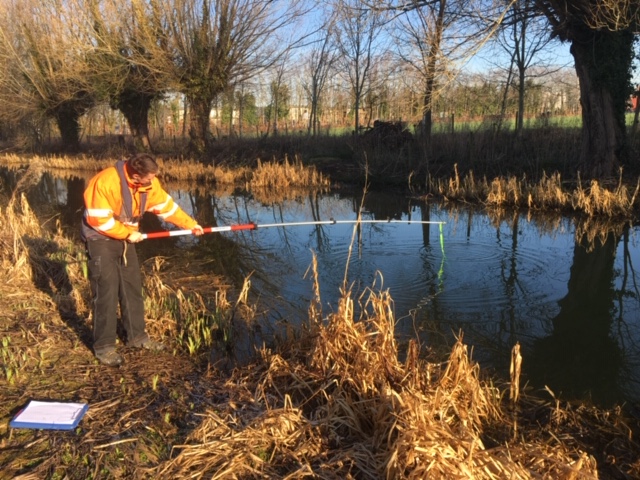
Today, we returned to a more traditional method of trundle wheel, stick and string!
Next, the “in water” section West of the A38 roundabout. This section is so attractive already after our WRG friends visited over Christmas.
Now we can see the water surface (A walk along here is highly recommended!) more dipping and trundling and the initial data measurements was complete.

The really clever bit now though is to feed the numbers into a computer programme.
We await the results with interest!